GEMSTONE CASE STUDY: Global Economic Monitoring using Satellite Data and AI/ML TechnologyCase study on how SpaceKnow creates state-of-the-art economic indices based on data derived from satellite imagery using cutting-edge AI/MLApr 25, 2022Apr 25, 2022
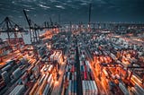
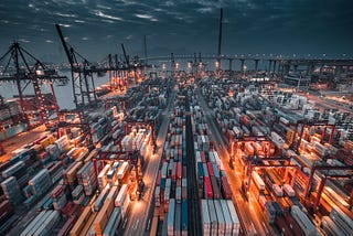
Published inSpaceKnowAmerica’s Supply Chain Action from SpaceThe festive season is right around the corner, but despite the bright Christmas lights, a dark blanket of doubt rolls over America’s supply…Nov 24, 2021Nov 24, 2021
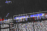
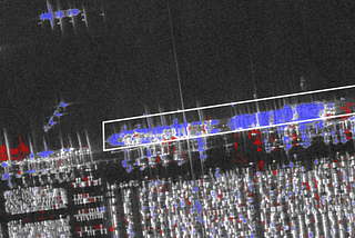
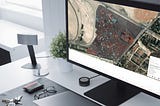
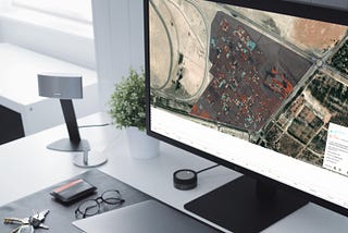
Published inSpaceKnowExploiting automated change detection on Persistent Monitoring high-resolution ImageryAlthough Synthetic Aperture Radar (SAR) has been widely used for Earth remote sensing for more than 30 years, the emergence of small, new…Jul 29, 2021Jul 29, 2021
Published inSpaceKnowEconomic Impact of COVID-19 lockdown in Malaysia: A View from SpaceIntroductionJul 23, 2021Jul 23, 2021
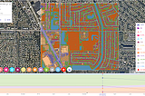
Published inSpaceKnowForests, Farmlands and Land Use Management with SpaceKnow’s SolutionsRemote Sensing Technologies are being used to determine the physical properties of land and what it is used for…Jun 4, 2021Jun 4, 2021
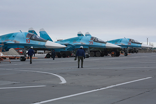
Published inSpaceKnowPutting Defense News Into Perspective with Satellite Imagery AnalyticsCase Study from the Morozovsk Air BaseJun 1, 2021Jun 1, 2021
Published inSpaceKnowProvider Agnostic Algorithms: Our Approach to the Growing Space IndustryAt SpaceKnow, we train machines to analyze satellite images to generate insights and provide actionable intelligence in a fully automated…May 25, 2021May 25, 2021
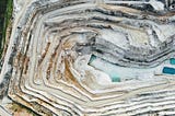
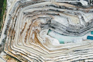
Published inSpaceKnow3D Monitoring of Mines using Satellite SAR dataSpaceknow presents large scale 3D surface mapping and monitoring using low and high resolution satellite radar imaging. Leveraging the…May 14, 2021May 14, 2021
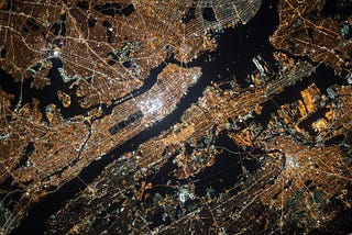
Published inSpaceKnowThe Key to Economic Nowcasting: Location, Location, LocationThrough a few years of precise development, lessons learned, and some savvy hiring, SpaceKnow has acquired the ability to measure the…Mar 18, 2021Mar 18, 2021